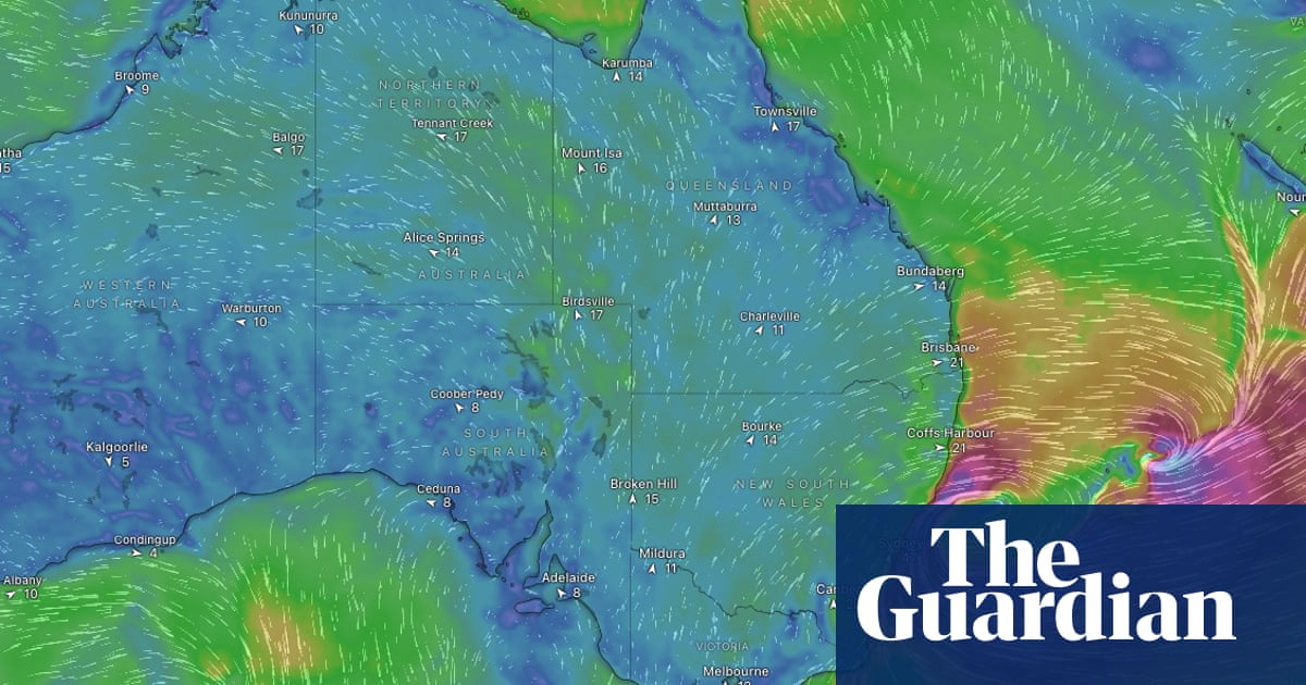
Sydney and parts of the New South Wales coast should brace themselves for a fast-developing weather system expected to bring damaging winds, heavy rainfall and flooding early next week, the Bureau of Meteorology has said.
Some areas could see flash and river flooding on Tuesday and Wednesday with the Sydney metro area “in the firing line”, the bureau said.
The system that is expected to develop on Sunday has the potential to be classified in the coming days as an east coast low – aweathersystem known for its damaging potential.
“It is looking like a significant weather system off the east coast and will start to pick up steam on Monday and intensify on Tuesday,” said Angus Hines, a senior meteorologist at the weather bureau.
The source of the weather threat is an area of spiralling wind and cloud that will develop off the southern Queensland coast on Sunday night.
Hines said as the pressure in the centre of the system drops, this will cause it to intensify and, as it travels south, could unleash damaging coastal conditions, high winds and torrential rain by Tuesday.
Hines said people on the east coast should watch their forecasts closely in the coming days, but areas expected to be hit on Tuesday and Wednesday include Sydney and the Hunter Valley, as well as elevated areas on the Great Dividing Range.
Sign up for Guardian Australia’s breaking news email
Wind gusts of up to 100 km/h in coastal parts are expected with rainfall of between 100mm and 200mm over 48 hours on Tuesday and Wednesday, with some areas potentially seeing higher totals.
“That is enough rainfall to give us some concerns about flooding – both riverine and flash flooding could pop up, including around the Sydney area,” Hines said.
“When you combine the winds with persistent rainfall, you are starting to look at the potential for trees coming down with those softer soils. It is plausible we see extensive tree damage.”
Sign up toAfternoon Update
Our Australian afternoon update breaks down the key stories of the day, telling you what’s happening and why it matters
after newsletter promotion
He said the system is known as a “bombing low” because of the speed at which it develops.
“It means over a short period of time, as the pressure drops, the spiral of winds ratchets up very fast, the wind speed picks up quickly and the rainfall becomes more intense. That rain then gets driven on to the coast at a greater rate of knots.”
As of Saturday morning, the system was forecast to start drifting east by Thursday.
Elsewhere, cooler than average morning temperatures that affected much of the country in recent days are expected to continue until early next week.
A band of cloud is forecast to bring rainfall from the Gulf of Carpentaria to Queensland’s south-east this weekend, with falls reaching the Brisbane and Gold Coast areas by late Sunday.
