‘Rough end to the weekend’: wintry weather on the way for south-east Australia

TruthLens AI Suggested Headline:

"South-Eastern Australia Braces for Wintry Weather This Weekend"

View Raw Article Source (External Link)
Raw Article Publish Date:
AI Analysis Average Score: 8.5
These scores (0-10 scale) are generated by Truthlens AI's analysis, assessing the article's objectivity, accuracy, and transparency. Higher scores indicate better alignment with journalistic standards. Hover over chart points for metric details.

TruthLens AI Summary

This weekend, south-eastern Australia is set to experience a significant shift in weather as winter approaches. The Bureau of Meteorology has predicted a mixture of rain, hail, and even snow in certain regions. According to senior meteorologist Miriam Bradbury, New South Wales will face particularly harsh conditions, with heavy rain and strong winds expected to create a 'double whammy' effect. The worst of the weather is anticipated on Sunday, particularly along the south coast, before moving towards the Central Coast by Monday and Tuesday. This inclement weather is likely to lead to hazardous driving conditions and dangerous surf, with maximum temperatures in Sydney dropping from 21°C on Saturday to 18°C on Sunday. The forecast for Melbourne indicates a chilly weekend as well, with maximum temperatures hovering around 14°C and 15°C, while patches of morning frost could occur on Sunday. Wind gusts reaching up to 90 km/h could exacerbate the situation, especially along the south coast of NSW.

In addition to New South Wales, other states such as Victoria and Tasmania will also experience a cold front bringing wintry conditions. This could result in some areas recording their coldest temperatures of the year, with overnight lows potentially dropping below 5°C and even below zero in parts of Tasmania and regional Victoria. Snow is possible at elevations of 500 meters in Tasmania and 1,000 meters in Victoria, with some flurries expected around the Grampians. Conversely, South Australia is likely to remain dry, with minimal rain expected, particularly in the eastern and south-eastern regions, which are already suffering from drought. While some showers may occur along the coast, the state is also anticipating strong westerly winds that could help alleviate a toxic algal bloom affecting its coastline. In contrast, Western Australia will enjoy warmer temperatures, remaining above average, while south-east Queensland should see showers and thunderstorms dissipating by Sunday. Overall, this weekend marks a stark contrast in weather across the different regions of Australia, as the country transitions into winter.

TruthLens AI Analysis

The article provides a detailed forecast of adverse winter weather conditions approaching south-eastern Australia. It outlines the expected rain, hail, and snow, along with the potential impact on daily life, particularly in New South Wales and Victoria. By discussing the weather patterns and their implications, the article aims to inform the public about the upcoming changes in the climate and potential hazards.

Public Perception and Reaction

The article seeks to create a sense of urgency and awareness regarding the impending weather changes. By emphasizing the "rough end to the weekend" and the possible dangers of driving and surfing conditions, it encourages readers to prepare for the harsh weather. The tone suggests a need for caution, which can foster community solidarity as individuals look out for one another during severe weather.

Information Transparency

There doesn't appear to be any significant information being hidden from the public. The focus is primarily on providing accurate weather forecasts and the potential effects of those forecasts. However, the emphasis on the severity of the weather could be viewed as an attempt to elicit a stronger reaction or to promote certain safety measures.

Manipulative Potential

While the article is fact-based and primarily informative, the language used to describe the weather—terms like "wintry blast" and "coldest day of the year so far"—could be seen as sensationalist. This choice of words may influence public perception, instilling a sense of fear or urgency. However, this is common in weather reporting, where the goal is often to ensure public safety.

Comparative Context

When compared to other weather-related news stories, this article fits within a broader narrative of climate change and severe weather patterns affecting various regions. It may connect to ongoing discussions about climate resilience and community preparedness, echoing previous reports on extreme weather events.

Socioeconomic and Political Implications

The anticipated weather could disrupt local economies, particularly sectors reliant on outdoor activities, such as tourism and agriculture. If severe enough, it may prompt government responses or resource allocations for disaster preparedness. In a political context, it reinforces the importance of climate adaptation strategies and emergency management.

Community Engagement

This type of news often resonates more with communities that are vulnerable to extreme weather, such as those in coastal areas or regions with a history of harsh winters. It serves as a critical reminder for these groups to remain vigilant and prepared.

Market Impact

While specific stock market implications are not directly addressed, industries such as agriculture, tourism, and insurance might be affected by the forecasted weather changes. Stocks related to these sectors could experience volatility in response to severe weather predictions.

Global Relevance

The article does not directly address global power dynamics, but it ties into broader conversations about climate change impacts worldwide. Such weather events are becoming more frequent, prompting discussions on international climate policy and cooperation.

AI Involvement

It's possible that AI tools were used in the creation of the article, particularly in data analysis and weather prediction modeling. However, the narrative style and emphasis on specific weather phenomena suggest a human touch in crafting an engaging report.

In summary, the article serves to inform the public about significant weather changes while emphasizing safety and preparedness. The language may evoke strong reactions, but it primarily aims to communicate important information. Overall, the reliability of the article appears high, stemming from its use of meteorological data and forecasts.

Unanalyzed Article Content

Winter is coming for south-eastern Australia this weekend, with the Bureau of Meteorology forecasting rain, hail and even snow for some parts of the country.

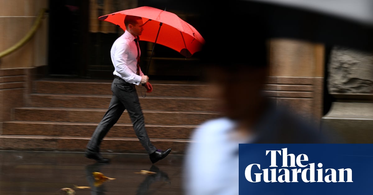
InNew South Wales, wet and windy conditions could see a “really rough end to the weekend”, Miriam Bradbury, a senior meteorologist at the bureau, said.

On Sunday, that “double whammy” of heavy rain and strong, gusty winds would focus on the state’s south coast before shifting towards the Central Coast on Monday and Tuesday, creating dangerous driving and hazardous surf conditions, she said.

Maximum temperatures in Sydney were expected to reach 21C on Saturday and 18C on Sunday, with a medium to high chance of showers, and the potential for thunderstorms near the coast on Sunday.

In Melbourne, 14C was the forecast maximum for Saturday, with a high chance of showers. Sunday would bring patches of morning frost with a high of 15.

Wind gusts of 70 to 90km/h were expected to ramp up across the south coast of NSW from Sunday, increasing through the Central Coast on Monday, potentially extending into Tuesday.

The Hunter and Central Coast would be the wettest, with two-day rainfall totals forecast to exceed 150mm, Bradbury said.

Sign up to get climate and environment editor Adam Morton’s Clear Air column as a free newsletter

In Victoria and Tasmania, a cold front in the south-east would deliver “a wintry blast” that could see maximum temperatures in the low teens. “It’s going to be a very, very chilly weekend,” she said.

Many places in those states would experience their coldest day of the year so far. Some might even see hail or snow.

“The overnight temperatures will drop as well, particularly from Sunday,” Bradbury said. “Most areas will see night-time conditions below 5C, with parts of Tasmania, regional Victoria and southern South Australia, expecting temperatures below zero.”

Hobart was expected to reach a top of 11C on Saturday and 13C on Sunday.

There was potential for snow at 500 metres over Tasmania, and at 1,000 metres in Victoria. “We could see a couple of flurries about the Grampians,” Bradbury said.

In South Australia, which remained in thegrip of a record dry, showery activity would likely be confined to the coast and “on the low side of things” – less than 10 to 15mm was expected – she said.

“Unfortunately, for those very, very dry areas through the east and south-east in particular, we’re not looking at any significant rain over the next seven days,” she said.

Along with much-needed rain, the state was holding out for strong westerly winds in order to break up a toxic algal bloom, which hadlingered on the state’s coastline since March.

Sign up toClear Air Australia

Adam Morton brings you incisive analysis about the politics and impact of the climate crisis

after newsletter promotion

SA’s best chance of wind was on Saturday, Bradbury said, when cool, southerly winds were forecast for southern and coastal areas.

Adelaide would see maximum temperatures of 17C across the weekend, with showers on Saturday clearing and mostly sunny by Sunday.

Meanwhile south-east Queensland would see showers and thunderstorms on Saturday, clearing by the afternoon. Brisbane could expect a top of 26C and a high chance of showers on Saturday, which were expected to ease on Sunday with a top of 26C.

In Western Australia, settled and unusually warm conditions continued, Bradbury said.

“Western Australia, particularly the south-west land division, is remaining 2 to 5C above average through the weekend into early next week,” she said.

“For Perth, that means we’re going to see temperatures in the mid to high 20s all the way through to about next Tuesday.” Mostly sunny, Perth was expected to reach 26C on Saturday and 27C on Sunday.

Sunny and a top of 32C was expected for Darwin. Canberra would reach 18C on Saturday and 13C on Sunday, according to the BoM.

Back to Home
Source: The Guardian